Chiang Mai Village Urbanization
Urban Forms & Making in Urbanizing Chiang Mai Villages
Research Collaborator • Field Work Instructor • Studio Teaching Assistantship
Chulalongkorn INDA • Parsons The New School • Research Mentor: Brian McGrath • Fall 2019- Spring 2020
This research became a basis for Chulalongkorn INDA [CUINDA] DEX 2020 “SAME SAME BUT DIFFERENT: FOUR VILLAGES IN CHIANG MAI” and Parsons The New School of Design BFA Architecture Capstone.
Student Design Researchers Include: Grape Natnitcha Opasserepadung, Gino Wacheyes Maneepakhathorn, Paskalina Kinanthi, Emma Frances Fuller

Just 7½ km from the center of the expanding city of Chiang Mai, Thailand, farmers gather and direct the monsoon waters through an intricate pattern of weirs and canals to fill rice paddies, as their ancestors have for centuries. An intricate community irrigation system not only manages the distribution of water fairly upstream and down but also allows most farmers to grow a second dry season crop by directing water stored behind the Mae Kuang Dam. However, for almost 10 km, the Mae Kuang River winds inside the city’s newly constructed Outer Ring Road, trapping multiple villages, temples, weirs, and hundreds of rice paddies, inside land planned for urban expansion. Meanwhile, dozens of gated subdivisions mushroom along the new ring highway in land designated for agricultural preservation.
Chiang Mai Village Urbanization Through time: Patch ecologies
In the unfolding of the studied site of Chiang Mai, Thailand a time series showcasing the changes of the site with the introduction of major transportation arteries were mapped through GIS Landsat and fieldwork. These networks began fracturing rice agriculture for the villagers and create a new parasitic form of gated communities which is separated topologically from the existing.

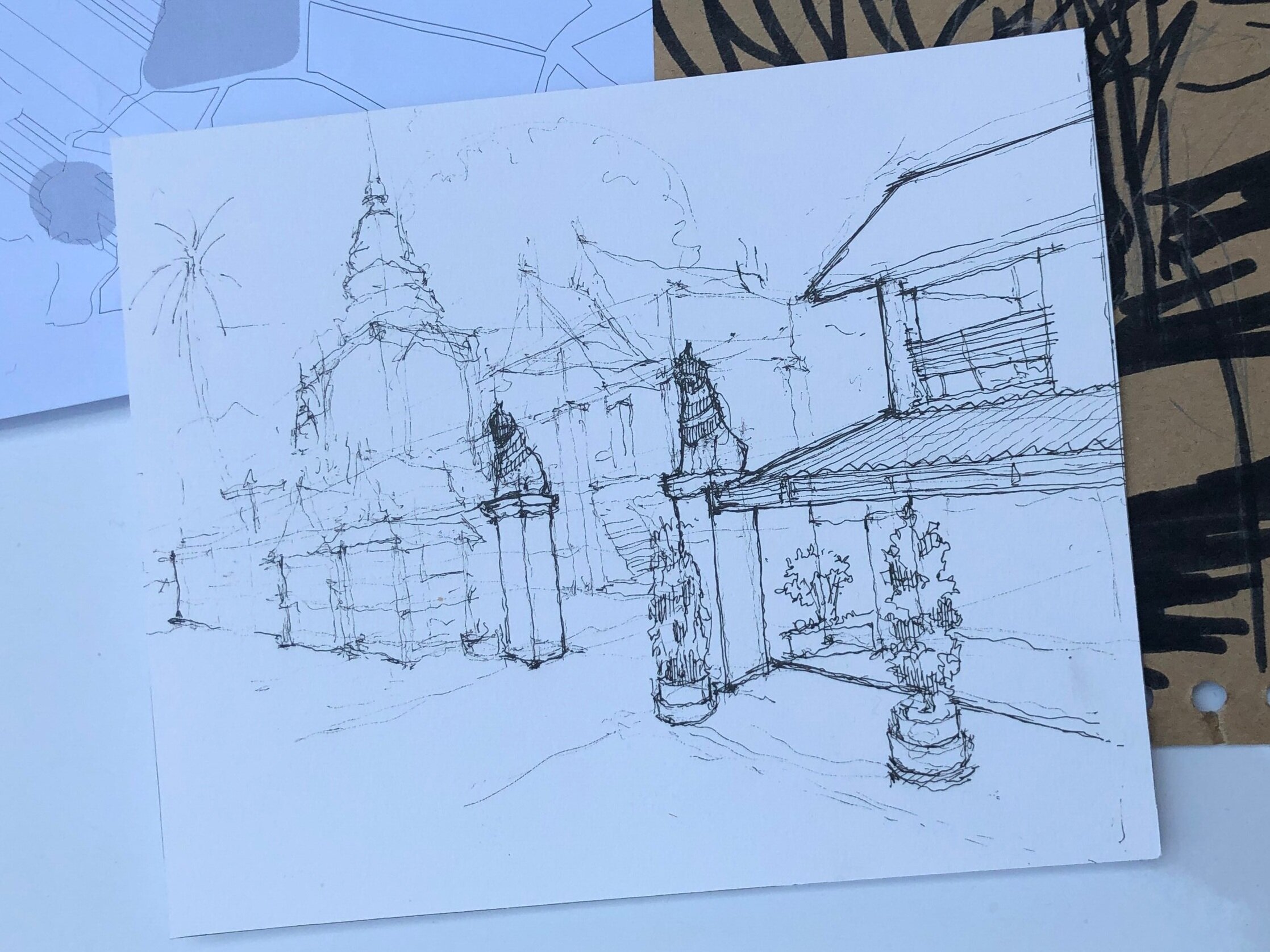
These explorations became a road map for students and TA’s to engage and conduct fieldwork on site. The following images consist of CUINDA and Parsons Students working as ethnographers and designers to truth out the lives of villagers and their daily acts.


Our project engages the individual and community bodies of the villagers met in field work in Chiang Mai, Thailand. Topics include village/landscape scale interventions where designers are increasingly engaging the social, political and economic realities of the city/rural interface as generative content for creating places for handicraft and making. Particular vernacular and indigenous building types provide students with tangible opportunities to engage the important issues that frame contemporary architecture and urbanism, such as local material sourcing, sustainability, adaptive reuse and upcycling. The project calls for a civic compound that incorporates handicraft and making, and is required to be a cluster of buildings around exterior courtyards that are protected from heat and monsoon rains. - Brian McGrath
